Bulgaria has five main climate regions, defined by its geographical location and atmospheric circulation. Understanding them is essential for agriculture, tourism, and forecasting extreme weather events.
- The mountain climate region covers around 25% of the country’s territory and experiences the lowest winter temperatures.
- The transitional continental region, which includes the Thracian Plain, is vulnerable to prolonged summer droughts and heatwaves.
- The influence of the Black Sea reduces temperature fluctuations, making winters milder and summers cooler in a narrow strip along the coast.
- A common mistake is underestimating how quickly the weather can change in mountainous areas, even during the summer months.
- The continental Mediterranean climate along the Struma Valley allows subtropical crops such as figs and kiwis to be grown.
Understanding Bulgaria’s five climate regions is much more than an academic geography exercise. It determines where the best vineyards thrive, when to plan a ski holiday without risking snowless slopes, and why farmers in Thrace struggle with drought while those in the Danube Plain face different challenges. This classification explains regional differences in lifestyles, the economy, and even the character of the landscape.
Knowledge of these zones is critically important for anyone traveling or working in the country. Current data as of 2026 indicate a trend toward more frequent and intense heatwaves in southern regions and greater variability in precipitation, directly affecting sectors such as energy and agriculture. This makes forecasting local conditions more difficult than ever.
At its core, Bulgaria’s climate is a battleground between continental air masses from the north and Mediterranean air masses from the south. The mountains and the Black Sea further complicate this picture, creating a mosaic of microclimates. This dynamic is precisely what makes the country so diverse and unpredictable.
| Climate Region | Geographical Coverage | Average January Temperature | Annual Precipitation | Dominant Influence |
|---|---|---|---|---|
| Temperate Continental | Danube Plain, Pre-Balkan region | -2°C to -3°C | 550–650 mm | Continental air masses |
| Transitional Continental | Upper Thracian Plain, Sub-Balkan valleys | -1°C to +1°C | 500–600 mm | Weakened continental and Mediterranean influences |
| Continental Mediterranean | Struma and Mesta valleys, Eastern Rhodope Mountains | +1°C to +2.5°C | 500–750 mm | Mediterranean cyclones |
| Black Sea | Coastal strip (30–50 km inland) | 0°C to +2.5°C | 450–550 mm | Sea breezes and a moderating effect |
| Mountain | Mountains above 1,000 m elevation | -4°C to -10°C | 800–1,200 mm | Altitude |

How Many Climate Regions Are There in Bulgaria and How Are They Defined?
How Many Climate Regions Are There in Bulgaria, and What Are They?
Bulgaria has five main climate regions: temperate continental, transitional continental, continental Mediterranean, Black Sea, and mountain. Each has distinct temperature and precipitation patterns.
The classification of climate regions is based on the analysis of long-term data on temperature, precipitation, sunshine, and wind, considered alongside geographical factors. The main dividing features are the Balkan Mountains, which act as a barrier to cold northern air masses, and the influence of the Black Sea and the Mediterranean. These boundaries are not sharp but instead form transition zones.
This classification has enormous practical value. Agronomists use it to select suitable crops, such as rice and cotton in the transitional continental region. Energy specialists plan grid demand according to expected temperature extremes, while tourism professionals determine the main winter and summer seasons. In practice, the map of these regions is an economic map of natural opportunities and risks.
Temperate Continental and Transitional Continental Regions: The Heart of Bulgaria
Which Climate Region Experiences the Highest Summer Temperatures?
The highest summer temperatures and heatwaves are characteristic of the transitional continental region. In areas such as the Upper Thracian Plain, temperatures often exceed 40°C, creating conditions conducive to drought.
It is often assumed that the climate throughout northern and southern Bulgaria is similar, apart from the mountains, but this is a mistake. The temperate continental region, which includes the Danube Plain, is characterized by hot summers and cold, snowy winters because it is exposed to continental air masses arriving from the northeast. This region has the country’s greatest temperature fluctuations.
Typical crops (Temperate Continental): Wheat, corn, sunflowers
Characteristic conditions: Snowdrifts and strong winds in winter
Agricultural risk: Late spring frosts following warm weather
Critical threshold: January temperatures below -20°C are possible
The transitional continental region, which encompasses the Upper Thracian Plain, is sheltered by the Balkan Mountains. Winters are milder, but summers are just as hot and sometimes even drier. This is the region most vulnerable to prolonged droughts. One example is the area around Plovdiv, where rainfall can be scarce for weeks in July and August, making intensive irrigation necessary for agriculture, a major local industry.
A closer look reveals that some of the most significant climate anomalies occur precisely in this transitional zone. Anyone traveling through this part of Bulgaria in summer should always carry extra water and be prepared for extreme heat, especially in lowland areas far from rivers.
Continental Mediterranean and Black Sea Regions: The South and the Sea
The difference between Bulgaria’s southern border region and its coastline is fundamental, even though both areas tend to feel milder. The continental Mediterranean region along the Struma River Valley, including the areas around Sandanski and Petrich, is strongly influenced by warm air masses from the Aegean Sea. This results in the mildest winters and earliest spring in the country, allowing subtropical species such as kiwis, figs, and pomegranates to be grown.
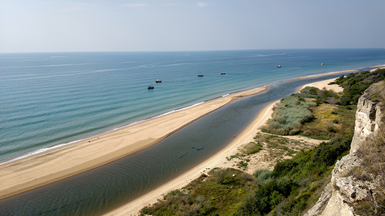
In contrast, the Black Sea climate region is a narrow strip extending up to 50 km inland, where the sea acts as a huge temperature regulator. It moderates winters and cools summers through daytime and nighttime breezes. However, this effect is highly localized. Just 60 km from the coast, for example, around Yambol, the climate is already transitional continental, with much greater temperature fluctuations. Experienced observers know that a weather forecast for Burgas does not necessarily apply to Karnobat.
A critical mistake is planning agricultural activities near the sea without accounting for the effects of salty aerosols and persistent humidity, which are unfavorable for many crops traditionally grown inland.
What Is Distinctive About the Mountain Climate Region?
Where Are the Lowest Winter Temperatures in Bulgaria Recorded?
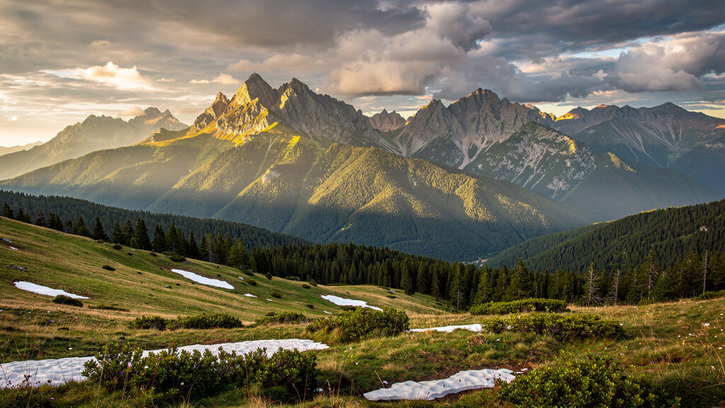
The lowest winter temperatures are recorded in the mountain climate region. On the highest peaks, such as Musala, average January temperatures fall below -10°C, and snow cover persists for months.
Underestimating mountain conditions is the most common mistake made by inexperienced hikers. The mountain climate region, which covers all areas above 1,000 meters in elevation, is defined by vertical climate zonation. For every 100 meters of ascent, temperatures drop by approximately 0.6°C, while precipitation increases. This creates a completely different environment just a few kilometers from the lowlands.
Typical elevation: Above 1,000 m
Characteristic conditions: Sudden storms and fog in summer
Tourism risk: Avalanche danger in winter and spring
Critical threshold: Winds exceeding 100 km/h along ridges and on peaks
The reality is that weather conditions here can change within minutes. A sunny summer day in the Rila or Pirin Mountains can suddenly give way to a thunderstorm with hail and a sharp drop in temperature. That is why experienced hikers check specialized mountain forecasts rather than the general national forecast, and always carry warm clothing and a rain jacket in their backpacks, even in August. This is a fundamental safety rule, not merely a recommendation.
Climate Anomalies and Future Changes: What to Expect
The traditional classification of climate regions remains valid, but global climate change is already being felt in Bulgaria. Observations from recent years, including data available as of 2026, indicate a clear trend toward the northward expansion of Mediterranean climate influences. This means milder winters but also longer and more intense summer droughts, particularly in southern Bulgaria.
Analyses by the Executive Environment Agency confirm these trends. For example, some years have recorded significant positive temperature anomalies. Data from Executive Environment Agency reports show that deviations from the norm in northeastern Bulgaria can reach +2.7°C, a significant indicator of warming.
The greatest future risk is related to water, both shortages during the summer and intense but brief rainfall that causes flooding and erosion. Adapting to these new realities requires rethinking agricultural practices and water resource management. For ordinary people, this means paying closer attention to forecasts of extreme weather events and recognizing that the climate we know is already changing.
Frequently Asked Questions
Which Climate Region Is Best Suited to Agriculture?
It depends on the crop. The transitional continental region, particularly the Upper Thracian Plain, is ideal for heat-loving crops such as rice, cotton, and vegetables, but irrigation is necessary. The temperate continental region, including the Danube Plain, is a leading producer of grain crops such as wheat and corn thanks to its fertile soils, despite its colder winters.
Which Cities Are Located in the Transitional Continental Climate Region?
The transitional continental region includes major cities such as Plovdiv, Stara Zagora, Sliven, Yambol, and Pazardzhik. This zone covers almost the entire Upper Thracian Plain and the lower Sub-Balkan valleys. It is characterized by milder winters than those in northern Bulgaria and very hot summers.
How Do the Balkan Mountains Affect Bulgaria’s Climate?
The Balkan Mountains act as a key climatic barrier. They prevent cold continental air masses from the north from moving directly into southern Bulgaria. This is the main reason winters in the Thracian Plain are significantly milder than those in the Danube Plain, creating two distinct major climate zones.
Why Is the Weather Along the Black Sea Coast Different from Inland Bulgaria?
The Black Sea has a strong moderating effect that is felt in a narrow strip along the coast. In summer, sea breezes cool coastal areas, making the heat more bearable. In winter, the water cools more slowly than the land and releases heat, resulting in higher temperatures and less snow. This effect weakens rapidly farther inland.
What Are the Biggest Misconceptions About Bulgaria’s Climate?
One common misconception is that all of southern Bulgaria has a Mediterranean climate, when in fact it is limited mainly to the Struma and Mesta valleys. Another mistake is assuming that summer in the mountains is always cool and safe. Weather conditions there can change dramatically within minutes, bringing storms and sudden cold spells even in July.
Is the Number of Climate Regions Actually Changing?
No. The number and geographical distribution of Bulgaria’s five main climate regions remain the same because they are defined by relatively stable factors such as topography and latitude. What is changing are the characteristics within these regions: temperatures are rising, while precipitation is becoming more irregular and extreme due to global warming.